June 24 Update: Slow start to the 2026 Ski Season
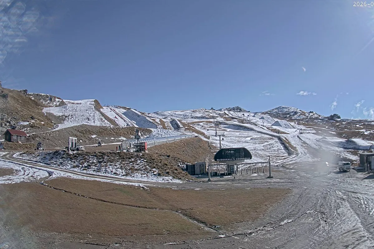
It has been a slow start to the 2026 ski season, with mild weather affecting several New Zealand ski fields through June. A number of South Island mountains have delayed their openings due to limited natural snow and only small windows for snowmaking.
Looking ahead, colder temperatures and more regular winter weather patterns should become more frequent from late June and into July.
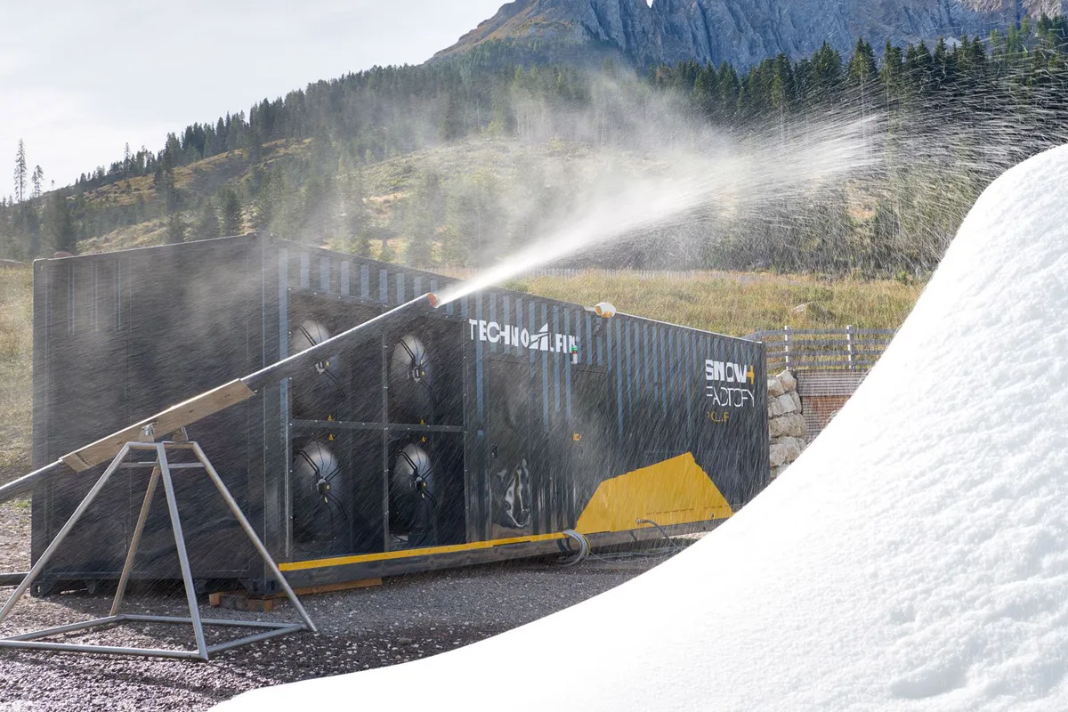
Snowmaking should improve as temperatures cool, and (as of today the 24th) an incoming southerly system is sweeping up the country bringing snow to lower levels. That could quickly change conditions across the mountains.
No need to worry, there is still plenty of winter ahead.
Snow Forecast 2026 June update: May and early June have been very mild so far. June is expected to be a transitional month as El Niño begins to develop
May and the first half of June have been unusually mild, but the weather patterns are now starting to change. NIWA says there is a 95% chance of El Niño developing during the June to August period, with its influence expected to become more noticeable later this winter. That could bring more active weather, stronger winds and larger temperature swings across New Zealand – especially the South West of the South Island.
For skiers, the story right now is simple: it has been too warm. May and early June were unusually mild, and several South Island ski fields have delayed their openings until at least 20 June while they wait for more natural snow.
The good news is that if El Niño develops as expected, we could see a shift in weather patterns as winter progresses. That may bring more southerly storms and colder conditions, particularly to parts of the South Island. However, it’s still too early to talk about specific snowfall totals.
South Island
- Colder temperatures likely
- Southerly storm potential
- Wetter outlook
North Island
- Possible warmer temperatures
- Mixed snowfall
- Drier weather risk
There is about a 95% chance for El Niño conditions to emerge over the forecast period (June - August 2026).
Niwa


For the weather forecasting, once again thanks to NIWA
Our early New Zealand Snow Forecast 2026 outlook points toward a more active ski season, with El Niño patterns increasing the chances of southerly storms and colder temperatures
While a long-range snow forecast 2026 is never guaranteed in New Zealand, the early weather data is pointing toward a potentially strong winter for the lower south-west of the South Island.
There is about a 65% chance for El Niño conditions to emerge over the forecast period (May - July 2026).
Niwa
Right now, the developing El Niño pattern appears likely to favour the South Island more than the North Island
The upper North Island could trend drier through winter, while the lower South Island and Southern Alps may see more regular cold southerly systems pushing through during the ski season.
If that setup develops, it could create one of those classic New Zealand winters where storms roll through, temperatures drop quickly, and large high-pressure systems follow behind to lock the cold in. For skiers and snowboarders, that’s usually the pattern you want to see – snow, bluebird days, then freezing nights helping preserve the snowpack.
Based on the current weather models and climate outlooks, the feeling is that the South Island could see a colder and more active winter than recent years.
That doesn’t necessarily mean huge snowfall every week, but it may support more consistent snowmaking conditions and regular southerly top-ups across many ski areas. The North Island should see some of the storm activity as it rolls up the country – especially Tūroa, located on the southern face of Mt Ruapehu.


Of course, this is New Zealand. One storm can change an entire season, and one warm month can undo it just as quickly
But if the current patterns hold, the early signs are at least pointing toward a promising South Island winter for 2026.
Well keep you posted on updates.
We’d like to thank Mountainwatch and NIWA for their information. We follow both every year and find their outlooks a great reference.