
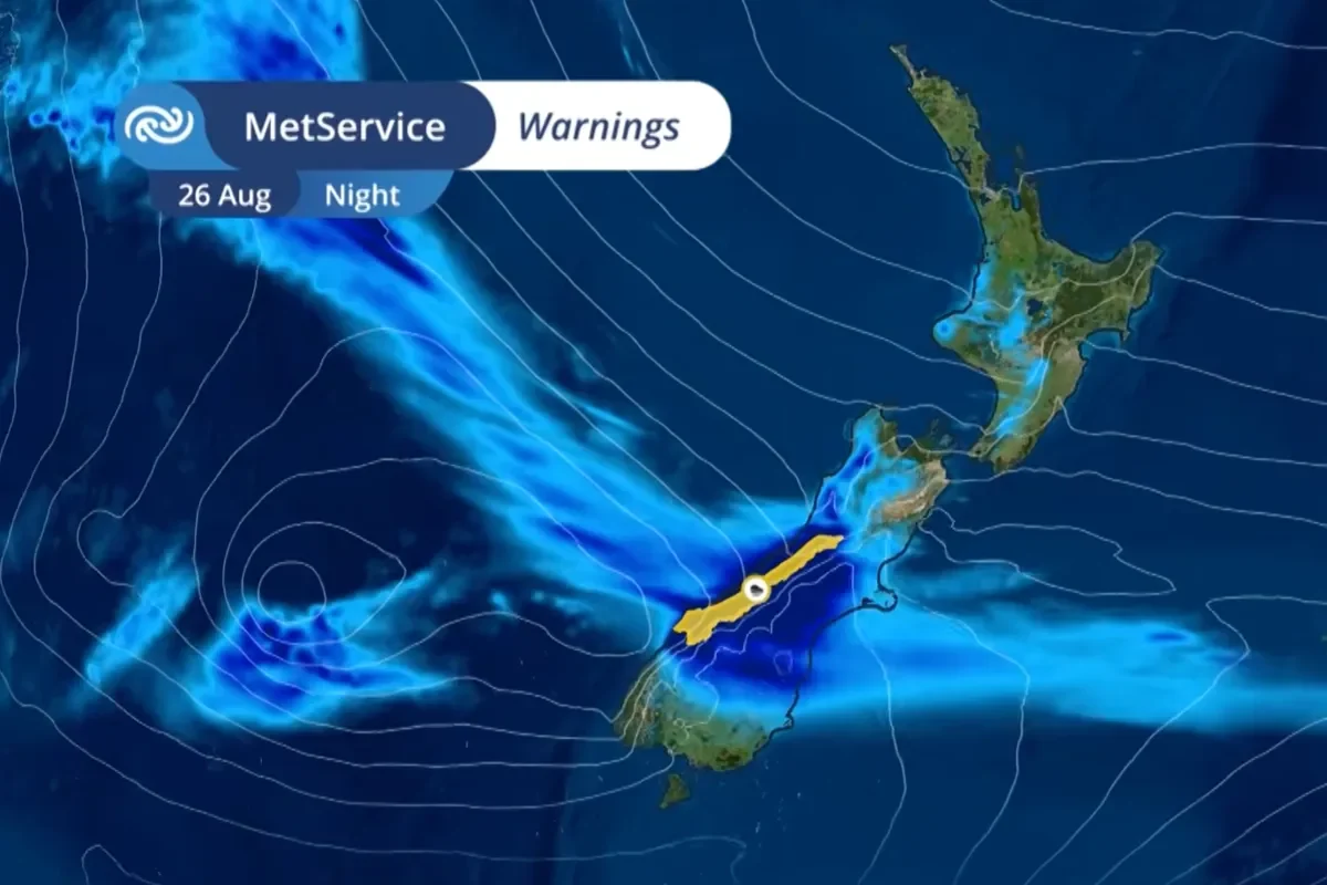
We don’t normally monitor weather reports for snowfall, but this August storm might be worth paying attention to
Especially if the numbers being thrown around do happen – it could be the best powder of the season!
Some current forecast models are suggesting around half a metre or more could fall at several South Island ski fields, although exact totals remain uncertain and will depend on how the system develops. Most forecasters are describing this August storm is a substantial event, with heavy snow currently forecast through Wednesday and Thursday.
The Southern Lakes look like they might get the biggest snowfall from the storm, with Treble Cone, Cardrona, Coronet Peak and The Remarkables all in line for fresh snow. Canterbury ski fields could also see significant accumulations as the system moves across the country. Mountainwatch is describing the incoming weather as a potentially major midweek powder event.
Mt Ruapehu could also pick up fresh snow as the system moves north, giving Whakapapa and Tūroa another chance of an August storm top-up. Current model guidance is showing lower totals than the South Island, but still enough to add useful fresh snow if the forecast holds.
For now, the key word is chance. Mountain snowfall totals can change quickly depending on wind direction, freezing levels and exactly where the heaviest precipitation falls, but if the current forecasts hold, some New Zealand ski fields could be looking at one of the bigger snowfall events of August.