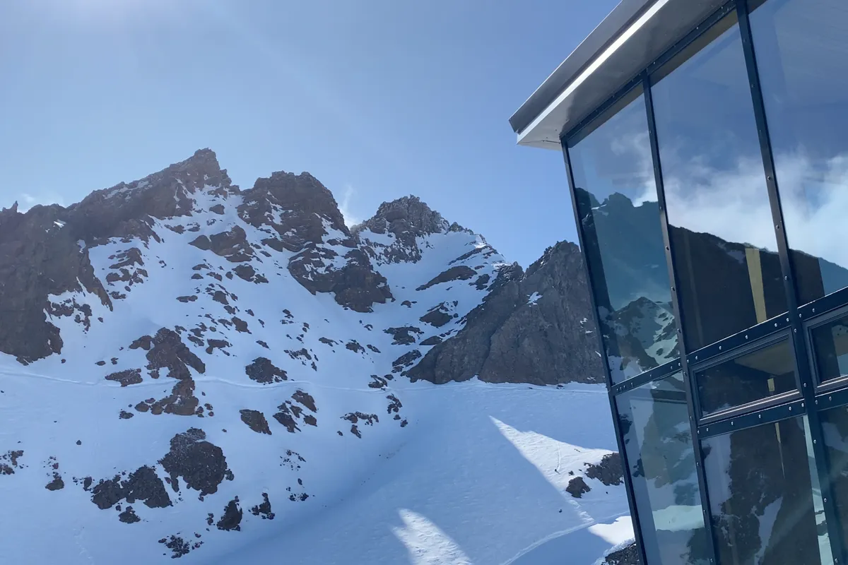

A strong winter system is expected to bring fresh snow to ski fields across New Zealand this weekend, with Mt Ruapehu potentially receiving some of the biggest totals (upto 50cm).
The South Island will see strong winds and rain on Thursday before colder air arrives during Friday, turning precipitation to snow across the mountains. Around 5-10cm or more is possible for some South Island ski fields, which could provide fresh conditions for the week ahead.
Ruapehu could see big snow totals this weekend
Mt Ruapehu, Tūroa & Whakapapa, could receive some of the biggest snowfall totals from the incoming weather system.
Conditions are expected to begin with rain and strong winds on Friday before colder air arrives and snow develops across the mountain. Forecasts are for between 20-50cm across Saturday and Sunday, although the final total will depend on the exact path of the weather system.
The stormy weather may affect lift operations and mountain roads while the system moves through, but the fresh snow should provide a welcome boost once conditions settle.
Further snow is also possible on Monday.
WeatherWatch snow forecast – July 23
Predicted snow forecast:
| Area | Predicted snowfall |
|---|---|
| Mt Ruapehu | 20-50cm |
| Southern Lakes | 5-10cm |
| Canterbury ski fields | 5-10cm |
| Other South Island ski fields | Approx 5-10cm |
Please note, these are only forecasts, we do our best to research weather websites and combine predictive totals.